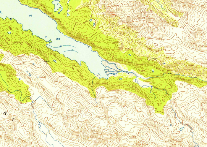
USGS 1953 topo map
Get the one you need:
| File Size: | 144.0 KB | 583.9 KB | 887.5 KB | 3.4 MB | 4.0 MB |
| Image Size: | 300px | 600px | 750px | 1600px | Original |
Embed
1. Select a size:
2. Cut and Paste:
| File Size: | 144.0 KB | 583.9 KB | 887.5 KB | 3.4 MB | 4.0 MB |
| Image Size: | 300px | 600px | 750px | 1600px | Original |
1. Select a size:
2. Cut and Paste: