≪ Prev.
Next ≫
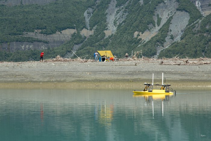
— This small, remote control boat, maps the sea floor in front of the Taan Fjord camp. This area is full of kettles and was overrun with sediment from the October, 2016 landslide generated tsunami.
Remote Controlled Mapping Boat and Office
Get the one you need:
| File Size: | 13.8 KB | 50.4 KB | 76.9 KB | 290.7 KB | 534.6 KB |
| Image Size: | 300px | 600px | 750px | 1600px | Original |
Embed
1. Select a size:
2. Cut and Paste: