≪ Prev.
Next ≫
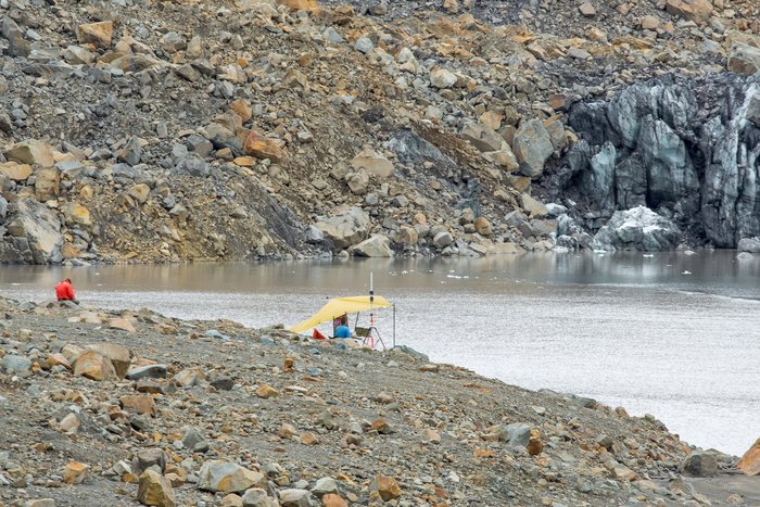
— The small, remote control, mulitbeam boat surveys and maps the sea-floor at the head of Taan Fjord. Over the course of a week, in early August, 2016, a team of researchers studied and mapped the submarine landslide deposit from the October 2015 landslide.
Landslide Office
Get the one you need:
| File Size: | 23.2 KB | 89.0 KB | 137.7 KB | 551.6 KB | 1.1 MB |
| Image Size: | 300px | 600px | 750px | 1600px | Original |
Embed
1. Select a size:
2. Cut and Paste: